How to get there
Contents
How to get to Cuzalapa and Color de Tierra
By the far the most straightforward way to reach Color de Tierra is to take Highway 80 from Melaque. There are other routes but most are longer and/or involve isolated roads of questionable quality. What follows are directions using this recommended route.
Using Highway 80 cross you’ll cross a couple of mountains before entering into the large pueblo of La Huerta. Continue past La Huerta until you the turnoff on your right to Cuautitlan.
You’ll start up and then drop into the area of Lagunillas at around 6.9 kilometers. From there until .7 kilometers SLOW DOWN, there are series of easily overlooked topes (road bumps) that are seriously bone-jarring (and are probably not very good for your car) if taken too fast (on your return, slow down when you see the Lagunillas sign).
At 11 kilometers you pass through an oak forest and then drop into a valley of mostly sugarcane. The road here is relatively straight but you should be on the lookout for potholes.
At 23.75 kilometers you pass under some yellow arches that welcome you to the very pretty town of Cuautitlan. Keep going straight.
At 24.4 kilometers you reach the central jardin of Cuautitlan. Continue straight as you pass the old and very picturesque iglesia to your left.
Continue straight until the interlocking brick road you are on ends at 24.75 kilometers. Turn left and go straight up the hill on another interlocking brick road. Note the large boulders on the mountain in front of you.
At 25.2 kilometers the interlocking brick road changes to an asphalt one. As you continue up the hill you’ll see a sign to Ameyalco.
At 26 kilometers notice how parts of the hillside are pulling away. This is common problem in the area.
From here you’ll descent until 29.8 kilometers where there is a single-lane bridge named Puente La Rosa.
At 30.1 kilometers you’ll see a sign pointing to Cuzalapa.
At 30.35 kilometers you’ll come to an intersection in the very small pueblo of La Rosa. Go left. To the right is the heartland of the Ayotitlán community, a very interesting place. If you decide to visit, it’s best to have a vehicle with high clearance and to travel in a group. Indeed, it’s probably best to find and join a guided tour if you want to see this area.
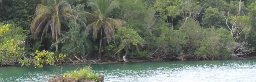
As you go left you’ll skirt to the right a very scenic little river valley. Be on the look-out for cattle that are occasionally herded along the road.
At 34 kilometers you cross a bridge and enter into Cuzalapa. Continue straight onto a rock road with two lanes of interlocking brick.

En route to Color de Tierra you’ll see a sign to the right for an ecotourism restaurant. It’s a very short ride to a nice place run by a very friendly family. It is, however, generally open only on the weekends.

At 34.85 kilometers the white building of Color de Tierra will be to your left.

References and Resources
Facebook site for Color de la Tierra. Cuzalapa: https://www.facebook.com/ColordelaTierra/?hc_ref=SEARCH
CONEVAL (Consejo Nacional de Evaluación de la Politica de Desarrollo Social). Informe Anual Sobre La Situación De Pobreza Y Rezago Social: Cuautitlán De García Barragán, Jalisco. 2010. (http://www.gob.mx/cms/uploads/attachment/file/43055/Jalisco_027.pdf)
Marco Antonio has a blog site with nice photos of the area: http://vistacuautitlan.blogspot.mx/2013_07_01_archive.html
Marco Corral’s blog site on Cuzalapa: http://cuzjal.blogspot.mx/
Barry Sullender
Instructor of Tropical Rainforest and Canopy Ecology for the Institute for Tropical Ecology and Conservation (ITEC).